360 virtual tours
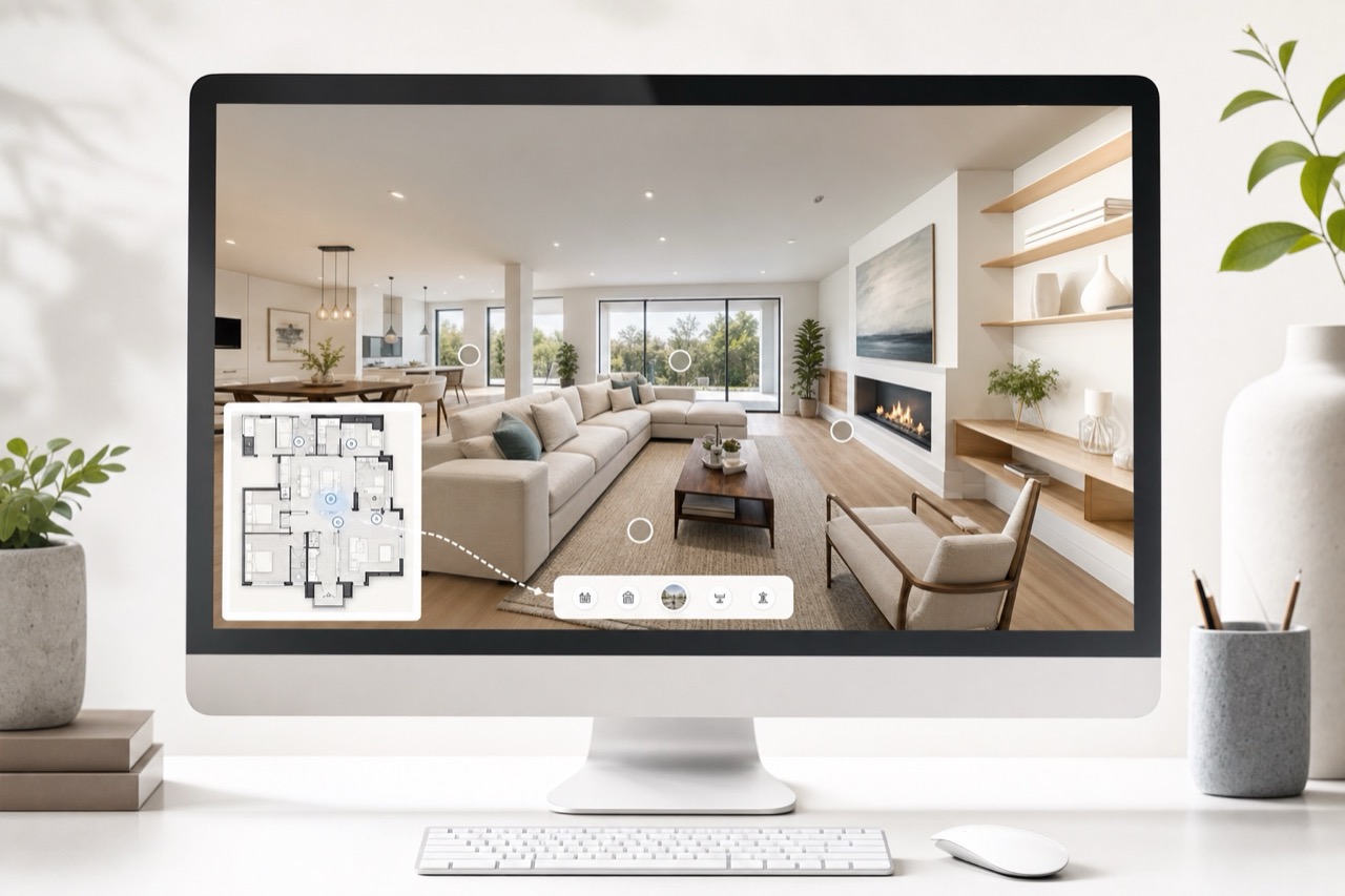
Panorama points tied to the same floor coordinate system, with headings, links, visibility, and public viewing.
Planned after the core capture and editing workflow is stable.
Why it matters
Place 360 panoramas on the same floor coordinate system as the plan, so viewers can move between rooms while staying oriented on the map.
Stored with the shared LogicSpace project record for a consistent workflow.
Stored with the shared LogicSpace project record for a consistent workflow.
Stored with the shared LogicSpace project record for a consistent workflow.
Workflow
Keep project data aligned across capture, web review, publishing, and export.
Keep project data aligned across capture, web review, publishing, and export.
Keep project data aligned across capture, web review, publishing, and export.
Best fit
Deliverables
Ready to test this workflow?
Open the workspace when you are ready to test the current LogicSpace workflow.